Mojave Desert, California - United States.
|
Mojave Desert, California - United States. |
|
|
Project Credits |
||||||||||||||||||
|
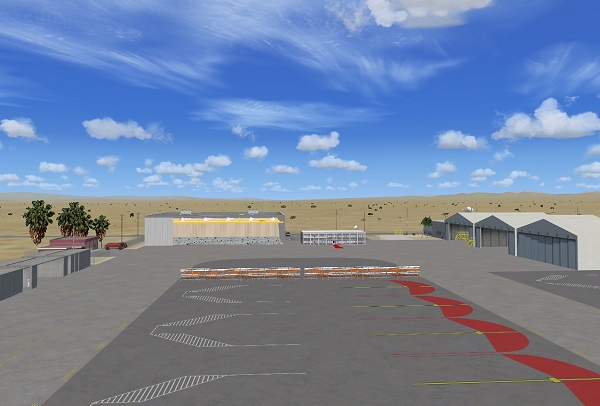
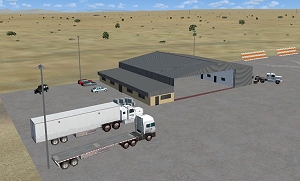
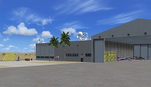
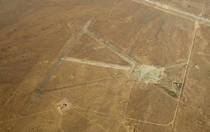
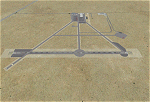
Hawes Aerial Operations Facility is a re-imagined version of an abandoned World War II auxiliary airstrip formerly known as Hawes AAF Aux #1. It was built in the mojave desert, just east of Edwards AFB (then Muroc AAF) during WWII as one of 4 satellite fields for Victorville AAF. After the war, Hawes as used as a private civilian airfield until it's closure in the early 1960's. It is now reborn in FSX as a UAV base by Nevada Systems. Due to it's location in the Mojave desert and the presence of many thermals in FSX, it was also used in production of the ARX-1 civilian glider concept. This scenery uses many custom macros as well as default macros from the Acceleration Expansion Pack, which is required for best performance. |
Hawes AOF for
FSX
|
||||||||||||||||||
|
|
|||||||||||||||||||
|
Airport Information
|
|
1999-2012 |